• Free Search
  • Search
  • Search by ref.
  • Free Search
  • Array ( [type_id] => 1 [type_name] => PHOTO [files] => Array ( [0] => Array ( [url] => /S5/C5633/P16113182/Tphoto/ID1edef500-0000-0500-0000-000009c1c9a4.jpg [file] => 1edef500-0000-0500-0000-000009c1c9a4.jpg [label] => Ruined land (12) ) [1] => Array ( [url] => /S5/C5633/P16113182/Tphoto/ID1edef500-0000-0500-0000-000009c1c9a0.jpg [file] => 1edef500-0000-0500-0000-000009c1c9a0.jpg [label] => Ruined land (9) ) [2] => Array ( [url] => /S5/C5633/P16113182/Tphoto/ID1edef500-0000-0500-0000-000009c1c9a8.jpg [file] => 1edef500-0000-0500-0000-000009c1c9a8.jpg [label] => Ruined land (15) ) [3] => Array ( [url] => /S5/C5633/P16113182/Tphoto/ID1edef500-0000-0500-0000-000009c1c9b2.jpg [file] => 1edef500-0000-0500-0000-000009c1c9b2.jpg [label] => Ruined land (19) ) [4] => Array ( [url] => /S5/C5633/P16113182/Tphoto/ID1edef500-0000-0500-0000-000009c1c9a6.jpg [file] => 1edef500-0000-0500-0000-000009c1c9a6.jpg [label] => Ruined land (13) ) [5] => Array ( [url] => /S5/C5633/P16113182/Tphoto/ID1edef500-0000-0500-0000-000009c1c98a.jpg [file] => 1edef500-0000-0500-0000-000009c1c98a.jpg [label] => Ruined land (2) ) [6] => Array ( [url] => /S5/C5633/P16113182/Tphoto/ID1edef500-0000-0500-0000-000009c1c98f.jpg [file] => 1edef500-0000-0500-0000-000009c1c98f.jpg [label] => Ruined terrain (3) ) [7] => Array ( [url] => /S5/C5633/P16113182/Tphoto/ID1edef500-0000-0500-0000-000009c1c991.jpg [file] => 1edef500-0000-0500-0000-000009c1c991.jpg [label] => Ruined terrain (1) ) [8] => Array ( [url] => /S5/C5633/P16113182/Tphoto/ID1edef500-0000-0500-0000-000009c1c993.jpg [file] => 1edef500-0000-0500-0000-000009c1c993.jpg [label] => Ruined terrain (4) ) [9] => Array ( [url] => /S5/C5633/P16113182/Tphoto/ID1edef500-0000-0500-0000-000009c1c997.jpg [file] => 1edef500-0000-0500-0000-000009c1c997.jpg [label] => Ruined terrain (6) ) [10] => Array ( [url] => /S5/C5633/P16113182/Tphoto/ID1edef500-0000-0500-0000-000009c1c99b.jpg [file] => 1edef500-0000-0500-0000-000009c1c99b.jpg [label] => Ruined terrain (5) ) [11] => Array ( [url] => /S5/C5633/P16113182/Tphoto/ID1edef500-0000-0500-0000-000009c1c99e.jpg [file] => 1edef500-0000-0500-0000-000009c1c99e.jpg [label] => Ruined land (7) ) [12] => Array ( [url] => /S5/C5633/P16113182/Tphoto/ID1edef500-0000-0500-0000-000009c1c9a1.jpg [file] => 1edef500-0000-0500-0000-000009c1c9a1.jpg [label] => Land with ruin (8) ) [13] => Array ( [url] => /S5/C5633/P16113182/Tphoto/ID1edef500-0000-0500-0000-000009c1c9a2.jpg [file] => 1edef500-0000-0500-0000-000009c1c9a2.jpg [label] => Ruined land (10) ) [14] => Array ( [url] => /S5/C5633/P16113182/Tphoto/ID1edef500-0000-0500-0000-000009c1c9a3.jpg [file] => 1edef500-0000-0500-0000-000009c1c9a3.jpg [label] => Ruined land (11) ) [15] => Array ( [url] => /S5/C5633/P16113182/Tphoto/ID1edef500-0000-0500-0000-000009c1c9ab.jpg [file] => 1edef500-0000-0500-0000-000009c1c9ab.jpg [label] => Ruined land (14) ) [16] => Array ( [url] => /S5/C5633/P16113182/Tphoto/ID1edef500-0000-0500-0000-000009c1c9ad.jpg [file] => 1edef500-0000-0500-0000-000009c1c9ad.jpg [label] => Land with ruin (16) ) [17] => Array ( [url] => /S5/C5633/P16113182/Tphoto/ID1edef500-0000-0500-0000-000009c1c9af.jpg [file] => 1edef500-0000-0500-0000-000009c1c9af.jpg [label] => Ruined land (17) ) [18] => Array ( [url] => /S5/C5633/P16113182/Tphoto/ID1edef500-0000-0500-0000-000009c1c9b1.jpg [file] => 1edef500-0000-0500-0000-000009c1c9b1.jpg [label] => Land with ruin (18) ) ) )
    Ruined land (12)
    Full Screen
    • Ruined land (12)%1/19
    • Ruined land (9)%2/19
    • Ruined land (15)%3/19
    • Ruined land (19)%4/19
    • Ruined land (13)%5/19
    • Ruined land (2)%6/19
    • Ruined terrain (3)%7/19
    • Ruined terrain (1)%8/19
    • Ruined terrain (4)%9/19
    • Ruined terrain (6)%10/19
    • Ruined terrain (5)%11/19
    • Ruined land (7)%12/19
    • Land with ruin (8)%13/19
    • Ruined land (10)%14/19
    • Ruined land (11)%15/19
    • Ruined land (14)%16/19
    • Land with ruin (16)%17/19
    • Ruined land (17)%18/19
    • Land with ruin (18)%19/19
    1/19
    Ruined land (12)
  • Land area
    2,560 m²

Property Features

  • Surroundings
  • Plot
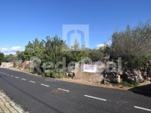
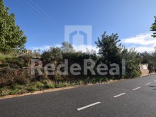
    • Access to Land Asphalt
    • Land Orientation Southeast
    • Land Type (slope) Moderate
  • Areas
    • Gross Area 64.00 m²
    • Land Area 2560.00 m²
  • Services
    • Public sanitation
  • Location Map

Property description

  • Property Type: Urban Land
  • Status: Not Applicable
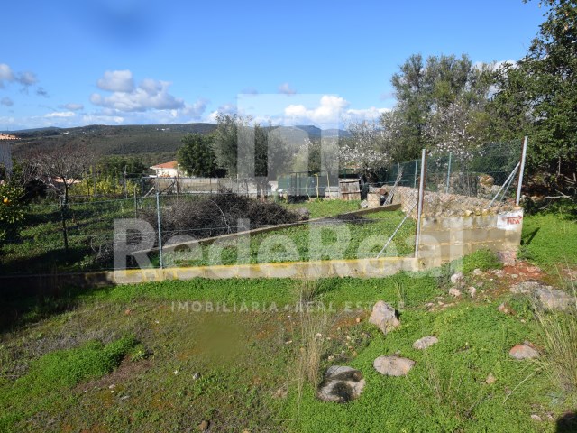
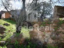
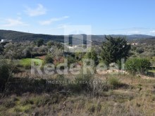
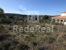
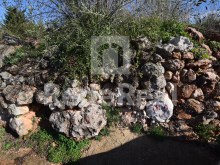
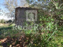
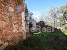
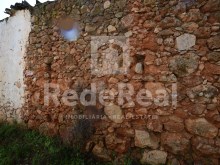
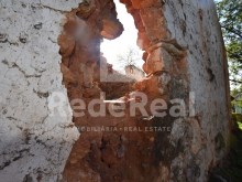
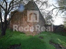
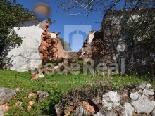
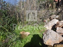
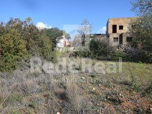
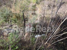
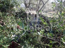
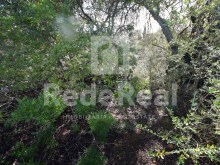
  • Two ruins with urban terrain on a slight slope crossed by a Roman path facilitating access, isolated and with unobstructed view to countryside, mountains and new sustainable development, Golf and sport of Ombria resort. In Council of Loulé request for information right on any construction issued on 12-08-2020, informs that it can build 300m2 of deployment and up to 450m2 of construction with maximum two floors above the level of the slate quota or 6.5m high. Proximity of an tarmac road enabling the distribution of water and public sanitation.

    Don't miss this opportunity and mark your visit now!
  • Enquiries
  • Suggest property
  • Name
    Telephone
    Email
    Message
    Terms & Conditions and the Privacy Policy